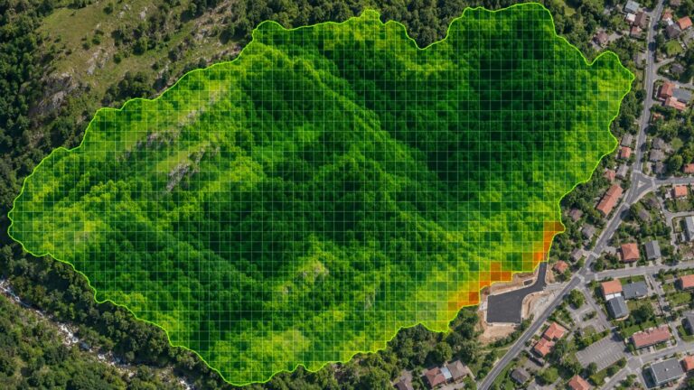
Why urban forests often fail as offset projects, additionality and dynamic baselines
A forest that is already protected rarely qualifies as an offset project, however much it absorbs. The key is additionality, and a satellite dynamic baseline can surface that risk early.
Forests in the middle of cities give shade and rest, and they absorb carbon. Measured from space, their annual uptake is often far from small.
Yet turning such a forest into an offset project usually hits a wall, even though the forest is doing its job. The reason is a test called additionality.
Here we explain what additionality is, why protected forests are at a disadvantage, and how satellites can flag the risk before anyone commits.
Category: Forest carbon
Additionality asks whether the removal would have happened anyway
Carbon credits offset someone’s emissions. For that to work, the removal behind the credit must exist because of the project. If it would have happened anyway, buying the credit does not take carbon out of the air.
That is why methodologies such as Verra’s VM0047 compare the project with a baseline built from similar areas without the project.
Legally protected forests would likely have grown anyway
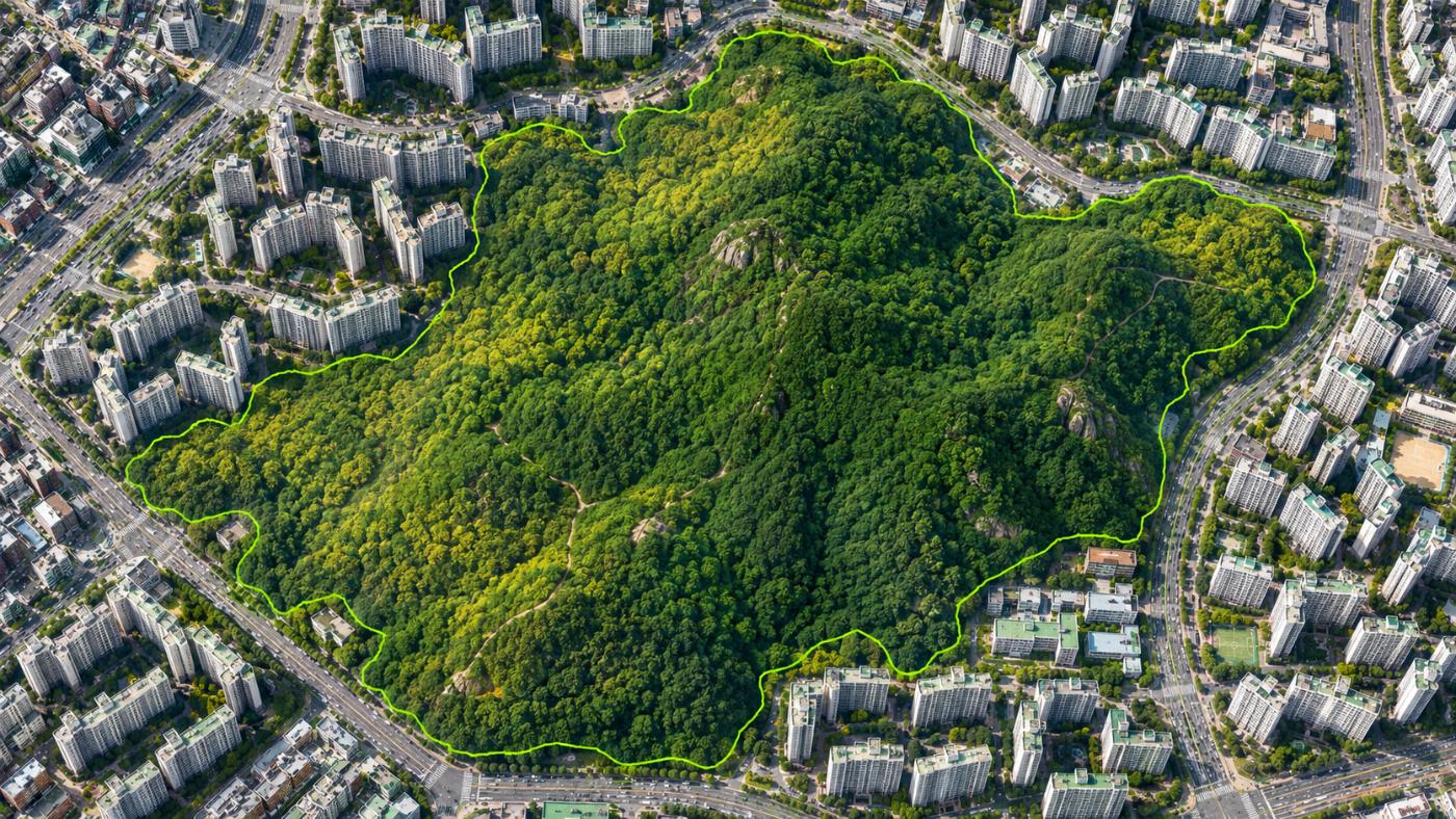
Forests in urban or nature parks are usually protected from felling, so they would keep growing without any project. However large the uptake, it is hard to attribute it to the project.
Gwangmyeong Dodeoksan urban forest in the CANOPY demo portfolio is an example. Its screened annual uptake is not small, but as an urban forest it carries an “additionality watch”.
How a dynamic control plot is built
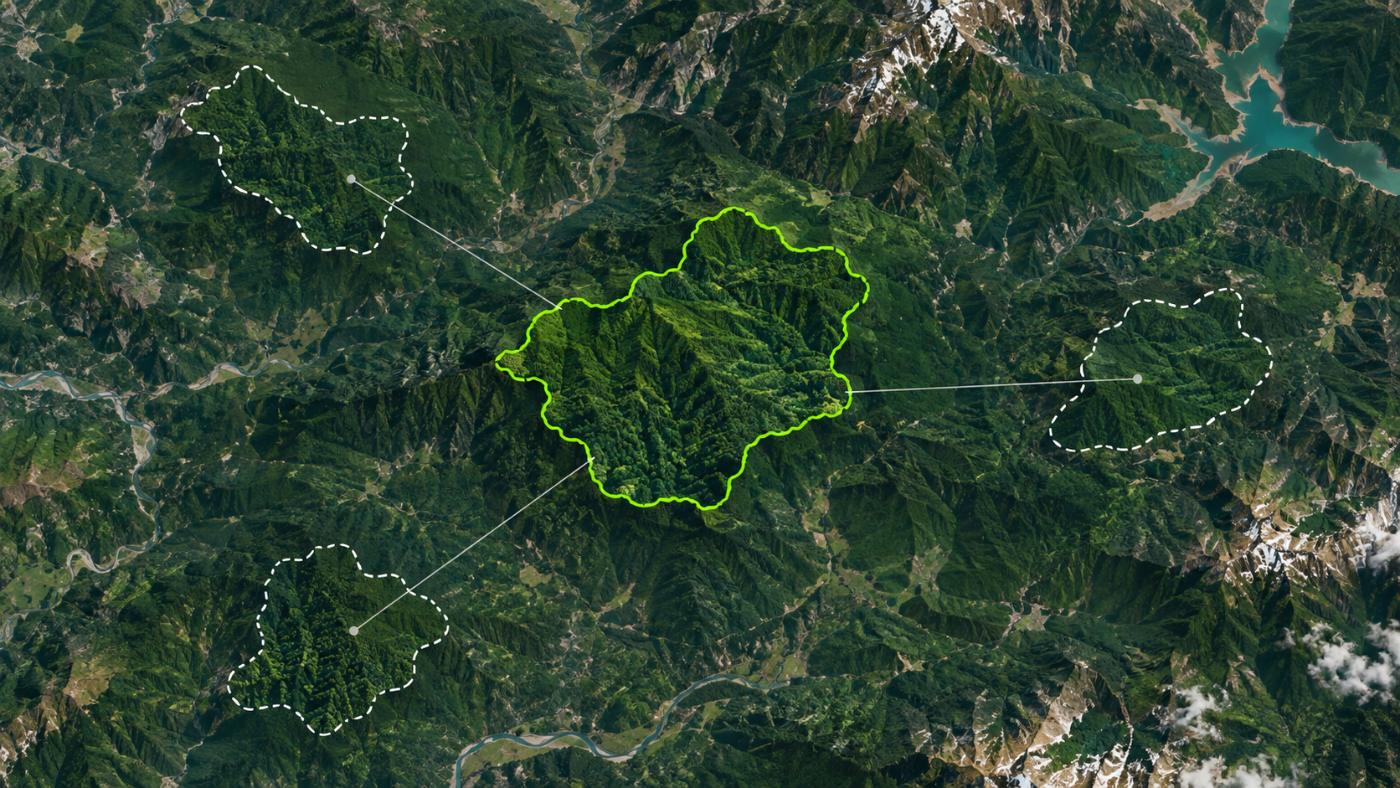
Points roughly 1–11 km outside the site boundary.
Three plots by similarity in elevation, NDVI and stand type.
NDVI side by side on the same Sentinel-2 dates.
Biomass gap in tCO₂e with the same scale.
Target similarity is 0.95; below that the screen says “below 95%”.
A dynamic baseline puts the forest next to its look-alikes
Site data alone cannot show that a project caused an increase. So CANOPY finds forest outside the site with similar elevation, vegetation and stand type and compares it on the same dates. Because the control plots can be re-chosen over time, it is called a dynamic baseline.
The comparison shows how much more or less is standing in the project forest than in similar forest. It is not proof of project impact, but it sets direction before an additionality review.
Urban forests fit management and reporting better than offsets
Weak additionality does not make an urban forest less valuable. Urban forests matter for municipal carbon-neutral reporting, park management and watching edge development. Seeing them every year with one method, and catching new paving at the edge or drought signals early, is the more realistic use.
More on the dynamic baseline and urban forests & parks pages.
Frequently asked questions
Can satellites prove additionality?
No. Satellites provide comparison evidence; additionality is decided through the methodology and third-party validation.
How far away should control forest be?
CANOPY searches roughly 1–11 km outside the boundary: close enough for similar conditions, far enough not to share the same influence.
Can protected forest ever qualify?
It depends on the methodology and scheme. Conservation projects (REDD+) that reduce degradation risk follow different rules and need expert review.
Want to see your forests from above first?
Register your forest polygons and we will screen carbon stock, annual uptake and candidate quality from public satellite data.
Book a demo →Edited and answered by the MomentCube CANOPY team / james@momentcube.com · +82-32-212-1011