Your district’s forest carbon, the same way every year.
Register the forests your city or county manages and CANOPY recomputes stock and annual uptake every year with one method, then drafts the sentences for internal approvals and council reports.
How it is used
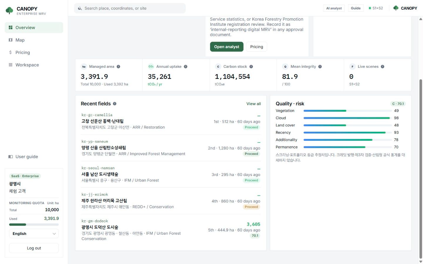
A district-wide portfolio.
Managed area, annual uptake, carbon stock and mean integrity on one screen, with a verdict and priority for each forest.
- Numbers and evidence for park, green-space and carbon-neutral reporting
- AI approval draft: report paragraphs written from registered sites
- An order for which forests to consider as external projects
- Year-on-year comparison from the measurement history
Note
Report it as “internal-reporting digital MRV”.
CANOPY figures are a satellite screening. They do not replace official Korea Forest Service statistics and are not a registry review. The report sentences say so as well.
In return, you can see every forest in the district with one method, often, and you get a basis for deciding which forest to discuss first when considering an external offset project.
FAQ
Frequently asked questions
Do we need to register every forest?
No. Start with the forests that need reporting or project review and add more within your hectare quota.
Can staff use it without satellite expertise?
Yes. Pick a forest on the map and press a button. Terms are explained on screen and in the user guide.
Can we use the report sentence as is?
It is a draft that organises the numbers and evidence. We recommend adapting it to your organisation’s format.
Related pages
Work with us
Start with a satellite screening of your forests.
Send us your forest boundaries. We screen carbon stock, annual uptake and candidate quality from public satellite data first, then walk through the results with you. No field equipment is needed.