From candidate screening to document drafts, faster.
Register many forests at once, filter them with the pre-check, look harder at the survivors with control plots and ten-year trends, and fill the document fields satellites can fill.
Workflow
Shorten the front end that used to take months.
Register candidates
Upload the boundaries of every forest under review.
Pre-check
Filter to proceed, review or weak and rank by priority.
Look deeper
Run control plots and the 10-year series on the survivors.
Draft documents
Use the PD/PDD outline draft and gap list to plan field work.
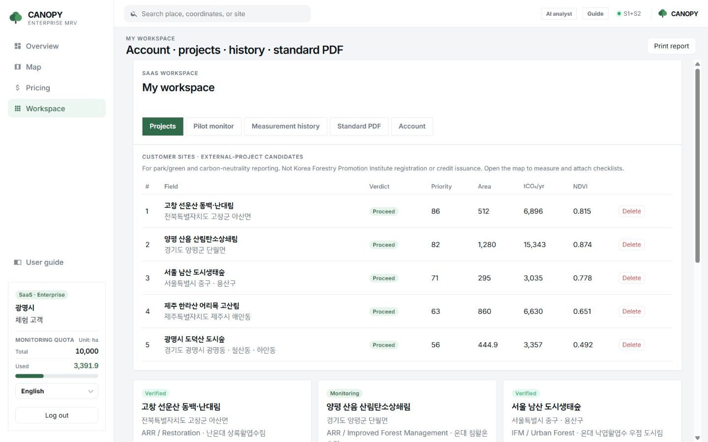
Priority
Decide which forest gets a field visit first.
A 0–100 score from uptake density, area, integrity, NDVI, boundary type and drought, shown as a table.
- ARR, IFM and REDD+ project types shown
- Verdict and annual uptake by forest
- Measurement history and PDF download
FAQ
Frequently asked questions
Which methodology does it follow?
The PDF is a skeleton borrowing the Verra VCS PD and Gold Standard LU&F PDD outlines. It does not perform any methodology’s quantification procedure for you.
Does it reduce field plots?
It helps you choose where to survey. Field plots required for registration and validation are still needed.
Does it work for Korea’s forest carbon offset scheme?
It helps with candidate screening and internal review. It does not replace Korea Forestry Promotion Institute registration documents.
Related pages
Work with us
Start with a satellite screening of your forests.
Send us your forest boundaries. We screen carbon stock, annual uptake and candidate quality from public satellite data first, then walk through the results with you. No field equipment is needed.