The outline that took months, starting with what satellites can fill.
A project description (PD, PDD) usually takes months. CANOPY borrows that outline and fills only the fields a satellite can see, saved as one draft PDF.
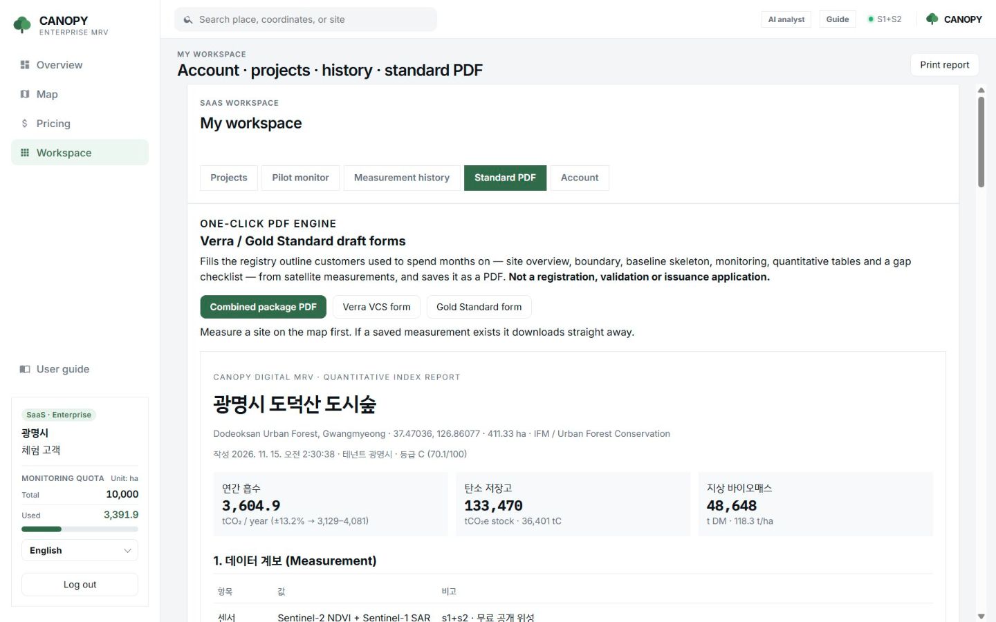
The package
A combined PDF in four parts
Once a forest is measured, download it from My workspace → Standard PDF.
- Part A: Verra VCS Project Description skeleton
- Part B: Gold Standard LU&F PDD skeleton
- Part C: quantitative appendix (tables and indicators)
- Last: a register of gaps
Filled and blank
Only what a satellite can see is filled.
Filled automatically
Coordinates, area, land cover and stand type; Sentinel-2, Sentinel-1, ALOS and GEDI with the fused scale; AGB and carbon pools; the tCO₂e screening; NEP; drought; and, if you ran them, the dynamic control plot and the 10-year series.
Left blank
Carbon rights and title, stakeholder consultation, safeguards, quantified leakage, the non-permanence buffer, field plots, VVB validation and the issuance request. These fields are why the work takes months.
FAQ
Frequently asked questions
Can I submit this PDF as is?
No. It is not the official template file and not a registration, validation or issuance application. The cover and watermark say so.
Is the tCO₂e in the PDF a credit quantity?
No. It is the satellite screening stock and annual uptake, not a quantity recognised by Verra or Gold Standard.
Which formats are available?
A combined package PDF, a Verra VCS form and a Gold Standard form.
Related pages
Work with us
Start with a satellite screening of your forests.
Send us your forest boundaries. We screen carbon stock, annual uptake and candidate quality from public satellite data first, then walk through the results with you. No field equipment is needed.